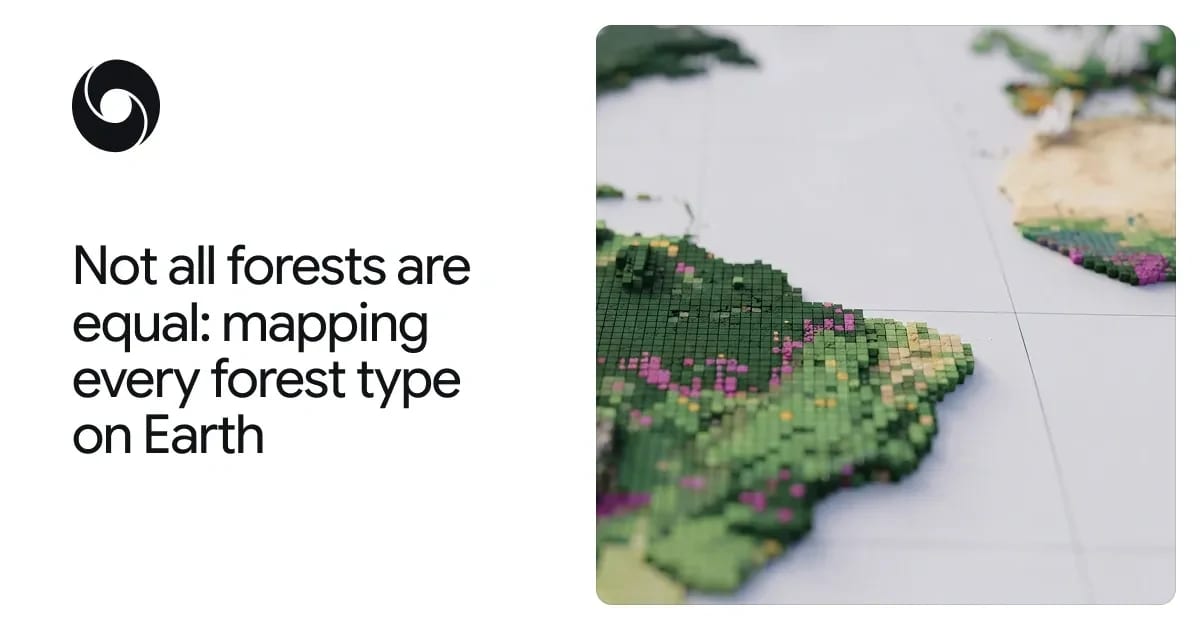
Google's ForTy map separates natural forests from plantations worldwide


Google DeepMind and Google Research released Forest Typology (ForTy) 2020: a global 10-meter map splitting land into six forest and land-use types, plus an annual 2017-2025 change series, as a baseline for the EU's deforestation regulation.
Tree-cover maps have told companies and regulators where green things grow. They have never told them what kind of forest it is. That distinction now has a global, open baseline: on 22 October 2026, Google DeepMind announced the release of Forest Typology (ForTy) 2020, a 10-meter map classifying every patch of land on Earth into six forest and land-use types. The release pairs the 2020 baseline with an early annual time series from 2017 to 2025, and it lands squarely inside a live compliance problem: the European Union's Regulation on Deforestation-free Products (EUDR), which uses 31 December 2020 as its reference date.
Six classes that binary tree-cover maps cannot separate
ForTy sorts land into FAO-aligned categories: primary forest with no visible human disturbance; naturally regenerating forest; planted forest managed over long cycles; plantation forest of fast-growing, often single-species tree farms; tree crops and agroforestry such as oil palm, rubber and cocoa; and other land. From orbit, all five forest and tree-crop classes can look like the same green. The model's job is to read planting patterns, growth cycles and harvest rhythms instead of just canopy.
The system was trained on roughly 1.7 million labeled locations drawn from expert surveys, national datasets and targeted reviews of failure cases, using AlphaEarth Foundations embeddings as a key input. The peer-reviewed dataset description in Scientific Data describes a cascaded deep-learning pipeline that combines weakly supervised learning with active learning.
Accuracy numbers from two validation passes
Google DeepMind reports validating ForTy with IIASA and WRI against more than 9,000 randomly chosen sites, each reviewed by two trained experts against high-resolution imagery and multi-year satellite records; on that evaluation the model picked the right forest type about 90% of the time and separated forest from non-forest at 95%.
The journal article reports an overall six-class accuracy of 90.2%, 94.8% for natural forest classification and 95.5% for forest/non-forest across 8,190 expert-labeled stratified random sites. The two sources agree on the order of magnitude, but teams running their own benchmarks should pull the exact confusion data from the paper and dataset rather than the blog summary.
Crucially, ForTy ships per-class probability scores, not yes/no labels. A compliance team under EUDR can accept only high-confidence pixels to limit regulatory exposure, while a researcher estimating forest extent can work with the full probability surface.
Why the EUDR date makes this more than a research post
EUDR requires commodities like coffee, cocoa and palm oil entering the EU market to come from land that was not forest after 2020, and wood products to avoid primary forests converted to plantations. That needs a static typology at the December 2020 reference date plus change detection afterward. ForTy supplies the baseline; the early-release 2017-2025 time series shows what replaced lost forest - timber plantation, tree-crop farm or regeneration. The Scientific Data paper also flags relevance for the Kunming-Montreal "30x30" biodiversity target and for Tropical Forest Forever Facility payments, which will need to exclude plantations and tree crops from eligible forest.
Access: Earth Engine, downloads and caveats
The map is explorable in the official Earth Engine app and registered in the Earth Engine dataset catalog; the v1 data is downloadable on figshare. The 2017-2025 series is explicitly an early release, and typology depends on management history that satellites cannot observe directly, so treat borderline pixels as probabilistic evidence, not verdicts. For compliance workflows, cross-check high-stakes parcels against JRC's Global Forest Types 2020 or national datasets before making claims.
For teams working with large geospatial datasets through AI tooling, our guide to AI agent tools covers agent workflows that can automate repeated dataset and API checks.
Sources and methodology
Primary: the Google DeepMind announcement of ForTy 2020 with Google Research, WRI and IIASA. Independent corroboration: the peer-reviewed dataset paper in Springer Nature's Scientific Data, volume 13, article 1434 (2026). Both sources were read in full text before publication; accuracy figures are attributed to the source that states them.
Try the related loot
Shorten URLs and manage feature requests with 1p.io API